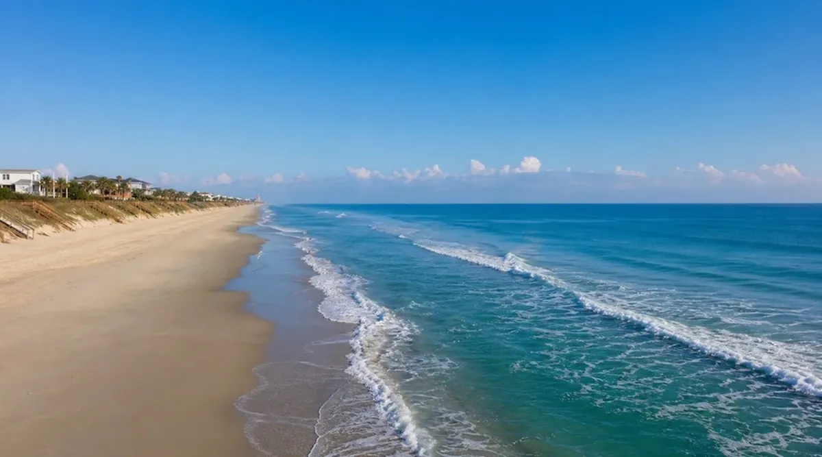
Beaches
Understanding United States Coastal Beaches
The United States spans more than 95,000 miles of shoreline across the Atlantic Ocean, Pacific Ocean, Gulf of Mexico, Great Lakes, and Arctic seas. Each region presents distinct beach geology, wave energy, tidal ranges, and access patterns that shape how visitors experience the coast. Sandy barrier islands along the Outer Banks of North Carolina differ fundamentally from the cobble beaches of Maine, the black-sand shores of Hawaii, and the dune-backed expanses of Oregon. Educational research into beach types helps travelers set realistic expectations about water temperature, surf conditions, and seasonal crowding without relying on outdated promotional descriptions.
Public beach access in the United States varies by state law, local ordinance, and land ownership. Some states guarantee public easements to the mean high tide line; others restrict parking or pedestrian paths near private coastal development. National seashores managed by the National Park Service, state park units, and county beach parks typically provide documented access points with seasonal lifeguard schedules, restroom facilities, and posted regulations. Before visiting any coastline, consult official park websites, state coastal management offices, and local municipal pages for current hours, fee structures, and temporary closures related to erosion, wildlife nesting, or storm recovery.
This guide presents general educational information about United States coastal beaches. It does not constitute personalized travel advice, safety guarantees, or recommendations tailored to your swimming ability, health conditions, or family circumstances. Wave conditions, rip currents, water quality, and facility availability change daily. Always verify current information through official lifeguard reports, NOAA coastal forecasts, state health department beach monitoring programs, and on-site signage at your chosen destination.
Atlantic Coast Beach Characteristics
Atlantic beaches from Florida through Maine generally feature wider tidal flats in northern states and more moderate tidal swings in the mid-Atlantic. Summer water temperatures range from the upper 70s Fahrenheit in Florida and the Carolinas to the low 60s off New England, with significant year-to-year variation. Hurricane season from June through November can produce dangerous surf, coastal flooding, and temporary beach closures even when storms remain offshore. Barrier island systems along Georgia, South Carolina, and Virginia migrate naturally through storm overwash; access roads and parking lots occasionally require rerouting after major weather events.
Wildlife considerations on Atlantic beaches include nesting sea turtles protected under federal law from May through October in southern states, piping plover nesting zones on northern beaches, and seasonal closures of off-road vehicle corridors in national seashores. Educational visitors observe posted nesting areas from a distance rather than approaching marked enclosures. Horseshoe crab spawning events in Delaware Bay and mid-Atlantic estuaries create brief seasonal concentrations that attract migratory shorebirds and may affect beach walking routes during spring evenings.
- Review National Weather Service beach forecast products for rip current risk before entering the water at any Atlantic beach.
- Check state coastal zone management pages for documented public access points rather than assuming continuous walkable shoreline through developed areas.
- Understand that offshore wind direction affects water clarity; onshore winds after storms may reduce visibility and increase debris on the wrack line.
- Carry reef-safe or mineral-based sunscreen where local ordinances restrict certain chemical formulations near marine environments.
Pacific Coast Beach Dynamics
Pacific beaches along California, Oregon, and Washington experience cold water year-round, typically between 50 and 60 degrees Fahrenheit even in summer. Strong wave energy, steep beach faces, and powerful rip currents make many Pacific beaches unsuitable for casual wading without local knowledge. Sneaker waves—surges that run farther up the beach than preceding sets—pose particular hazards on Oregon and northern California shores where visitors stand on wet sand near logs or rock outcroppings. Educational materials from Oregon State Parks and California State Parks emphasize never turning your back on the ocean on open-coast beaches.
California's coastline combines sandy embayments in Southern California with rocky intertidal zones along the central and northern coast. Tidepool exploration requires consulting daily tide tables; many organisms are protected and collection is prohibited in state marine protected areas. Washington's outer coast includes long wilderness beaches within Olympic National Park where creek crossings, driftwood hazards, and limited cell service demand self-sufficient preparation. Pacific Northwest beaches also experience king tide events that temporarily reduce dry sand area and may cover normally accessible trail segments.
- Wear wetsuits or rash guards for extended Pacific water exposure; hypothermia risk exists even on warm sunny days.
- Verify whether dogs are permitted; rules differ between state parks, national parks, and municipal beaches on adjacent segments.
- Plan visits around low tides for tidepool education but maintain safe distance from cliff edges subject to erosion.
- Monitor tsunami evacuation route signage in coastal communities; educational awareness does not replace following official alerts.
Gulf Coast and Tropical Shorelines
Gulf of Mexico beaches from Florida through Texas generally offer warmer water and gentler surf than open-ocean Atlantic or Pacific counterparts, though tropical storms and red tide algal blooms can disrupt visits seasonally. The Gulf's shallow continental shelf produces long, gradual beach profiles suitable for family wading when conditions are calm, but lightning associated with afternoon thunderstorms remains a serious hazard during summer months. Texas and Louisiana coastlines include extensive marsh and bay systems where beaches represent only a portion of the coastal experience; sand quality and color vary from white quartz in northwest Florida to darker mineral compositions farther west.
Hawaii, Puerto Rico, and other U.S. tropical territories add coral reef fringes, volcanic black sand, and culturally significant shoreline areas where access may involve respectful engagement with local customs. Hawaiian beaches range from sheltered lagoons to exposed north-shore winter surf breaks that attract experienced surfers but remain hazardous for general swimming from November through March. Educational visitors to any tropical U.S. coastline should review marine life guidance regarding coral contact, sea urchins, and seasonal box jellyfish or man-of-war presence reported by local ocean safety divisions.
- Consult Florida Fish and Wildlife Conservation Commission and Texas Parks and Wildlife red tide and water quality bulletins during summer and fall.
- Seek shade during midday hours; Gulf Coast UV exposure remains intense even when breeze moderates perceived temperature.
- Understand that gentle appearance of Gulf water does not eliminate rip currents near jetties, piers, and inlet mouths.
- Respect Hawaiian cultural sites and kapu (restricted) areas marked by signage or community guidance.
Beach Ecology and Responsible Visitation
Coastal beaches function as transition zones between marine and terrestrial ecosystems. Dune systems stabilized by native grasses such as American beachgrass in the northeast and salt-tolerant species in the southeast protect inland properties and provide habitat for nesting birds and insects. Walking or sledding on dunes damages root networks and may violate federal or state protection statutes. Boardwalks and designated crossovers exist to concentrate foot traffic; using them represents basic coastal stewardship regardless of whether immediate enforcement is visible.
The wrack line—the zone of deposited seaweed, shells, and drift material above the daily tide mark—supports invertebrate communities and foraging birds. Removing live shells, sand dollars, or stones from some protected areas violates regulations. Educational beachcombing focuses on observation, photography, and identification using field guides rather than collection. Microplastic pollution increasingly appears in wrack lines nationwide; participating in organized beach cleanup events through Surfrider Foundation chapters or state coastal volunteer programs contributes to community science without requiring membership in any organization.
Great Lakes Coastal Beaches
The Great Lakes contain freshwater beaches that behave similarly to ocean coasts in terms of wave action and rip currents despite the absence of tides. Lake Michigan, Lake Superior, and Lake Erie shorelines include extensive state and national lakeshore units with documented swimming beaches, though water temperatures remain cold through much of the summer. Undertow and structural currents near breakwalls and piers have caused drownings; educational signage at Chicago, Milwaukee, and Cleveland municipal beaches emphasizes swimming only when lifeguards are present. Algal bloom advisories, particularly on western Lake Erie, may close beaches temporarily based on microcystin testing results published by state health agencies.
Great Lakes dunes rank among the largest freshwater dune systems in the world, including Sleeping Bear Dunes National Lakeshore in Michigan and Indiana Dunes National Park. Climbing dune faces is permitted in designated areas but physically demanding; heat reflection from sand surfaces raises dehydration risk. Winter visits transform lakeshore beaches into ice formations and shelf ice that may appear solid but is unstable; educational winter shoreline walks should remain on established paths unless accompanied by local expert guidance.
- Check Great Lakes beach forecast systems operated by the National Weather Service for rip current statements on windy days.
- Review Harmful Algal Bloom bulletin pages before family swimming visits to Lake Erie and Lake Huron shorelines.
- Carry insect repellent during late summer visits to lakeshore beaches bordered by woodland; biting fly season peaks vary by latitude.
Planning Frameworks for Beach Visits
Effective beach trip planning integrates weather forecasts, tide tables where applicable, parking reservation systems, and accessibility requirements. Popular beaches in Cape Cod National Seashore, Cape Hatteras National Seashore, and Santa Monica State Beach fill parking by mid-morning on summer weekends; educational planning materials suggest arriving early or using public transit where available. Some beaches require timed-entry passes sold through recreation.gov or state reservation portals; policies change annually and should be verified within two weeks of travel.
Accessibility varies widely. Some beaches offer Mobi-Mat or similar portable surface deployments during peak season; others provide only sand access with no adaptive equipment. Calling park accessibility coordinators with specific questions about wheelchair width, restroom dimensions, and beach wheelchair rental programs produces more reliable information than generic travel blogs. Service animals follow federal guidelines; pet policies for non-service animals differ by jurisdiction and season on nearly every U.S. beach.
Equipment and Comfort Considerations
Beach equipment choices affect comfort and environmental impact. Umbrellas must be secured adequately on windy days; impalement injuries from flying umbrella stakes have prompted safety campaigns in Delaware and New Jersey. Shade tents may be prohibited during sea turtle nesting season to prevent obstruction of hatchling paths toward the ocean. Single-use plastic restrictions apply in some coastal municipalities; packing reusable water bottles and food containers aligns with local waste reduction goals documented on city sustainability pages.
Binoculars enhance educational observation of offshore marine mammals, pelagic birds, and sailing activity without requiring close water entry. Field guides to seashore life published by regional universities or Audubon chapters support identification of shells, birds, and intertidal organisms. A simple notebook for recording date, location, weather, and species observations creates a personal coastal journal useful for comparing conditions across return visits over many years.
- Pack a wide-brim hat, UV-protective clothing, and polarized sunglasses to reduce glare from wet sand and water surfaces.
- Bring a mesh bag for carrying out trash found during walks; leave-no-trace principles apply on beaches as in backcountry settings.
- Store electronics in dry bags when visiting splash zones; salt air corrodes unprotected devices over multi-day coastal trips.
- Review local fire regulations before considering beach bonfires; many East Coast beaches prohibit open flames entirely.
Integrating Beaches With Broader Coastal Itineraries
Beach visits often combine with lighthouse tours, harbor walks, aquarium education centers, and coastal trail hiking. Scheduling beach time during lower UV hours—early morning or late afternoon—allows midday blocks for museums and indoor interpretive centers during heat waves or thunderstorms. Multi-day coastal trips benefit from flexible scheduling because marine fog, jellyfish blooms, or lifeguard staffing shortages may temporarily reduce swimming suitability without eliminating educational value from shoreline walks and interpretive programming.
Educational coastal travel emphasizes observation of natural processes—longshore drift visible through offset pier pilings, sandbar formation after storms, and erosion control structures such as groins and seawalls—rather than treating beaches solely as recreation surfaces. Understanding that U.S. coastlines are dynamic systems subject to sea-level rise, storm intensification, and management policy debates adds context to what you see from the sand. This perspective supports informed citizenship and respectful visitation without requiring any particular political viewpoint.
- Visit NOAA Tides and Currents pages for tide predictions when planning intertidal exploration on ocean coasts.
- Pair beach days with nearby national wildlife refuge visitor centers for broader coastal ecology context.
- Allow recovery time between long beach walks; soft sand walking increases physical exertion compared with firm surfaces.
- Document parking payment methods in advance; many coastal towns use app-based systems unfamiliar to out-of-state visitors.